Winter storm predicted for Monday and Tuesday
Getty Images
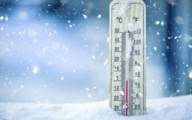
Another winter storm is predicted for our area today (Monday) and Tuesday.
Currently, Lake County and surrounding counties are in a Winter Storm Warning from 6:00 a.m. Monday until 6:00 p.m. on Tuesday. More information from the National Weather Service can be found below or on its website: https://forecast.weather.gov/MapClick.php?x=185&y=76&site=fsd&zmx=&zmy=&map_x=184&map_y=75#.Y7JCA3bMK3B
Winter Storm Warning
URGENT - WINTER WEATHER MESSAGE
National Weather Service Sioux Falls SD
210 PM CST Sun Jan 1 2023

MNZ071-072-097-SDZ038>040-050-052>061-063-064-020415-
/O.UPG.KFSD.WS.A.0005.230102T1200Z-230104T0000Z/
/O.NEW.KFSD.WS.W.0001.230102T1200Z-230104T0000Z/
Lincoln-Lyon-Pipestone-Beadle-Kingsbury-Brookings-Gregory-Jerauld-
Sanborn-Miner-Lake-Moody-Brule-Aurora-Davison-Hanson-McCook-
Charles Mix-Douglas-
210 PM CST Sun Jan 1 2023

...WINTER STORM WARNING IN EFFECT FROM 6 AM MONDAY TO 6 PM CST
TUESDAY...

* WHAT...Heavy snow expected. Total snow accumulations of 10 to
  18 inches. Ice accumulations of a light glaze possible. Winds
  gusting as high as 40 mph.

* WHERE...Portions of southwest Minnesota and central, east
  central, south central and southeast South Dakota.

* WHEN...From 6 AM Monday to 6 PM CST Tuesday.

* IMPACTS...Travel could be very difficult to impossible. Falling
  and blowing snow could significantly reduce visibility. The
  hazardous conditions could impact the morning or evening
  commute.

* ADDITIONAL DETAILS...Heavy snowfall rates of 1 to 2 inches per
  hour are possible Monday night into Tuesday morning. Blizzard
  or near-blizzard conditions may develop. Small fluctuations in
  storm track are still possible, which could impact the forecast
  precipitation type and amounts.

PRECAUTIONARY/PREPAREDNESS ACTIONS...

If you must travel, keep an extra flashlight, food, and water in
your vehicle in case of an emergency.

The latest road conditions for the state you are calling from can
be obtained by calling 5 1 1.
January 2, 2023
Related Content
SDSU Extension hosts rural childcare survey
17 hours ago

Drug Take Back Day
17 hours ago
Casey Crabtree Speaks on Summer Studies
2 days ago
DSU Faculty receives Honors
2 days ago